UN
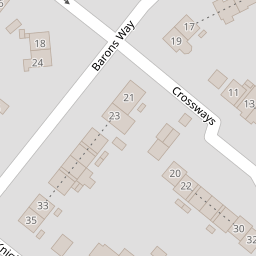
26 Crossways
£ 235,000
Description
We don't have a Description for this property.
- Bedrooms
- 3
- Bathrooms
- 0
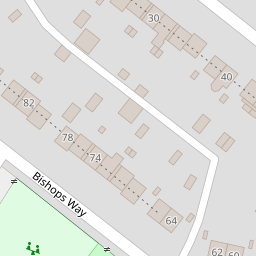

Leaflet © OpenStreetMap contributors
The heatmap indicates the level of crime in the area. The color of the heatmap indicates the crime severity and recency.
Metrics Year-on-Year
- Average area value
- 502,366.00 £Increased by 14.49 %
- Average area rental value
- 1,321.00 £/moIncreased by 20.86 %
- Est rental Yield
- 3.16 %Increased by 5.69 %
- Crime Rate
- 6.00 %Unchanged by 0.00 %
from 438,805.00 £
from 1,093.00 £/mo
from 2.99 %
from 6.00 %
Nearby Schools
| Name | Type | Ofsted | Distance |
|---|---|---|---|
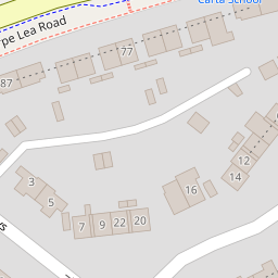
| Thorpe Lea Primary School | Community School | Good | 0.14 KM |
| Hythe Primary School | Community School | Good | 0.36 KM |
| The Magna Carta School | Academy Converter | Good | 0.37 KM |
| The Haven Sure Start Children'S Centre | Children's Centre | 0.49 KM | |
| T A S I S | Other Independent School | 1.90 KM |
Images
Nearby Streets
| Name | Average Price | Average Sqft | Distance |
|---|---|---|---|
| Rochester Road | £ 225,000 | 0 | 0.00 KM |
| Cumberland Street | £ 0 | 0 | 0.00 KM |
| Field View | £ 200,000 | 0 | 0.00 KM |
| River Park Avenue | £ 0 | 0 | 0.00 KM |
| Pooley Green Close | £ 0 | 0 | 0.00 KM |
Nearby Transport
| Name | NLC | TLC | Distance |
|---|---|---|---|
| Staines | 5670 | SNS | 2.46 KM |
| Egham | 5669 | EGH | 2.46 KM |
| Wraysbury | 5673 | WRY | 4.01 KM |
| Chertsey | 5553 | CHY | 4.66 KM |
| Virginia Water | 5676 | VIR | 4.97 KM |
Nearby Listings
| Address | Price | Type | Score | Distance |
|---|---|---|---|---|
| Western Avenue, Egham, Surrey, TW20 | £ 535,000 | BUY | 6 / 10 | 0.10 KM |
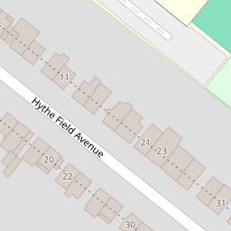
| Hythe Field Avenue, Egham, Surrey, TW20 | £ 520,000 | BUY | 6 / 10 | 0.20 KM |
| Hythe Park Road, Egham, Surrey, TW20 | £ 225,000 | BUY | 6 / 10 | 0.22 KM |
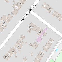
| Huntingfield Way, Egham, Surrey, TW20 | £ 450,000 | BUY | 7 / 10 | 0.26 KM |
| Hythe Field Avenue, Egham, Surrey, TW20 | £ 520,000 | BUY | 7 / 10 | 0.33 KM |
Nearby Properties
| Address | Price | Distance |
|---|---|---|
| 26 Crossways | £ 235,000 | 0.00 KM |
| 30 Crossways | £ 272,500 | 0.05 KM |
| 13 Crossways | £ 204,950 | 0.05 KM |
| 26 Huntingfield Way | £ 210,000 | 0.11 KM |
| 28 Huntingfield Way | £ 222,000 | 0.11 KM |